Simulation · Minimal Energy · Coal and nuclear
Rhineland lignite district
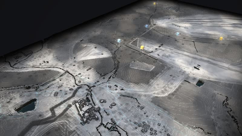
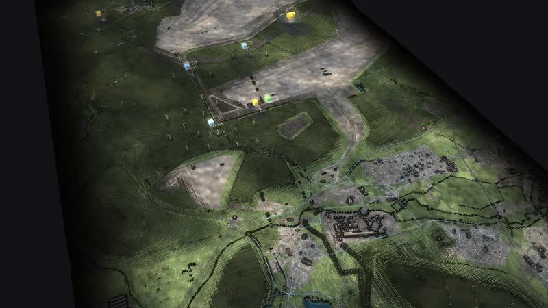
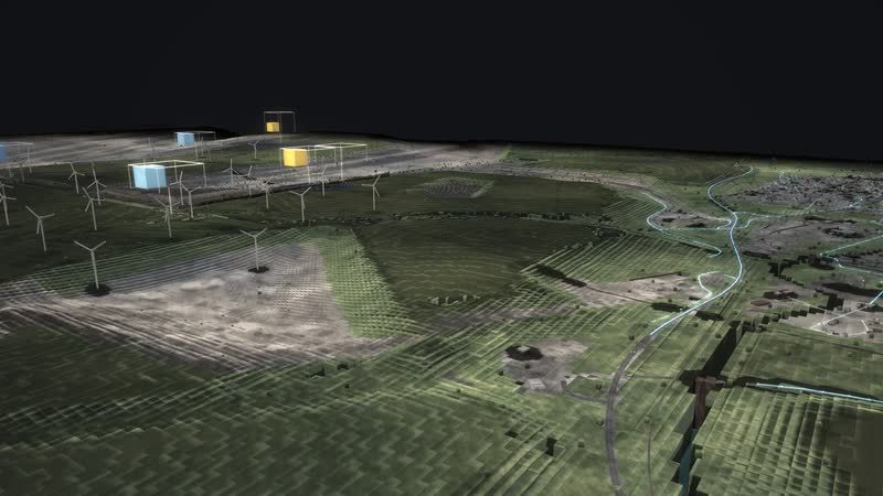
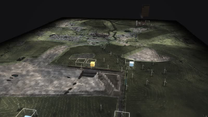
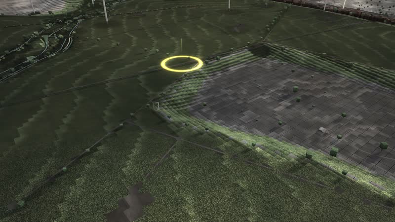
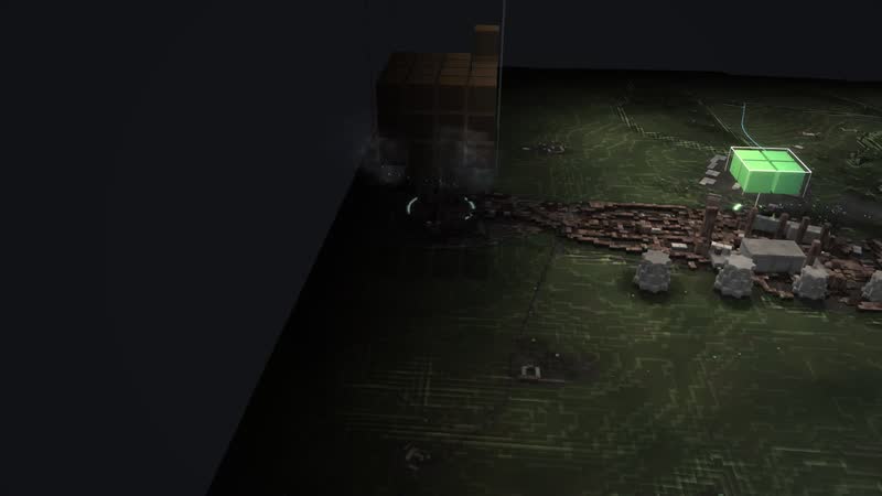
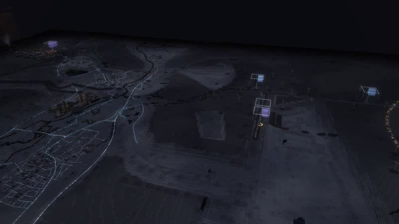
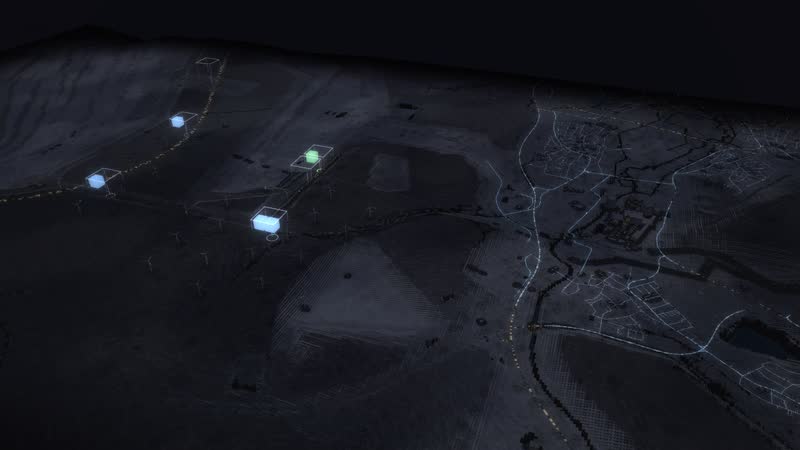
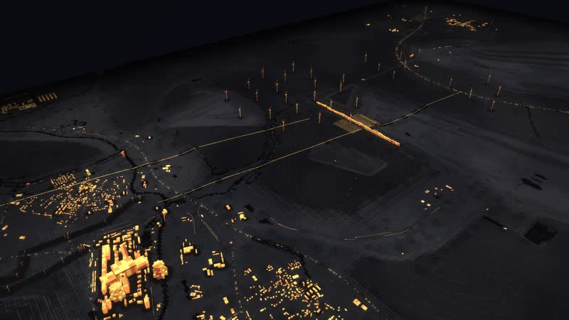
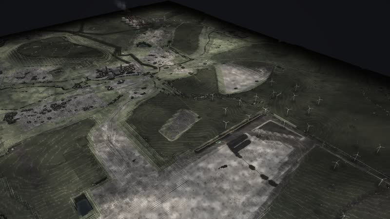
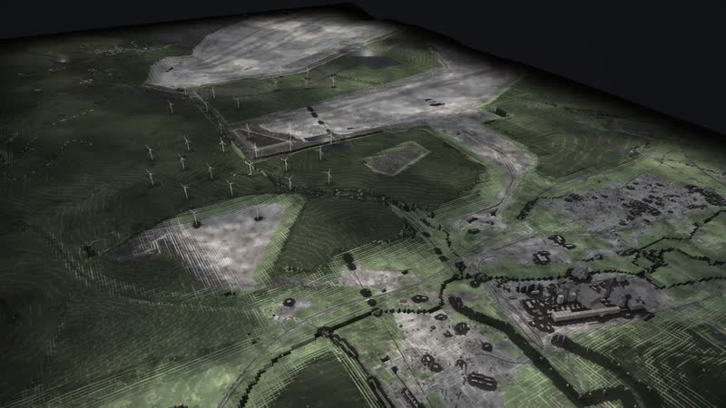
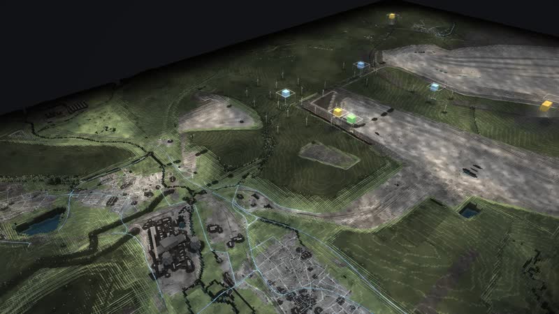
The Rhineland lignite district as a walkable model: from the Garzweiler mine via conveyors, boilers and cooling towers into the 380 kV grid – while wind, sun and batteries grow on the reclaimed land.
Trailer
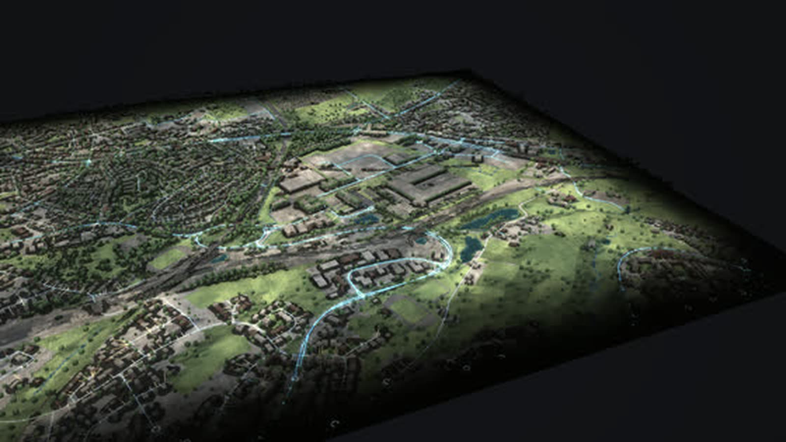
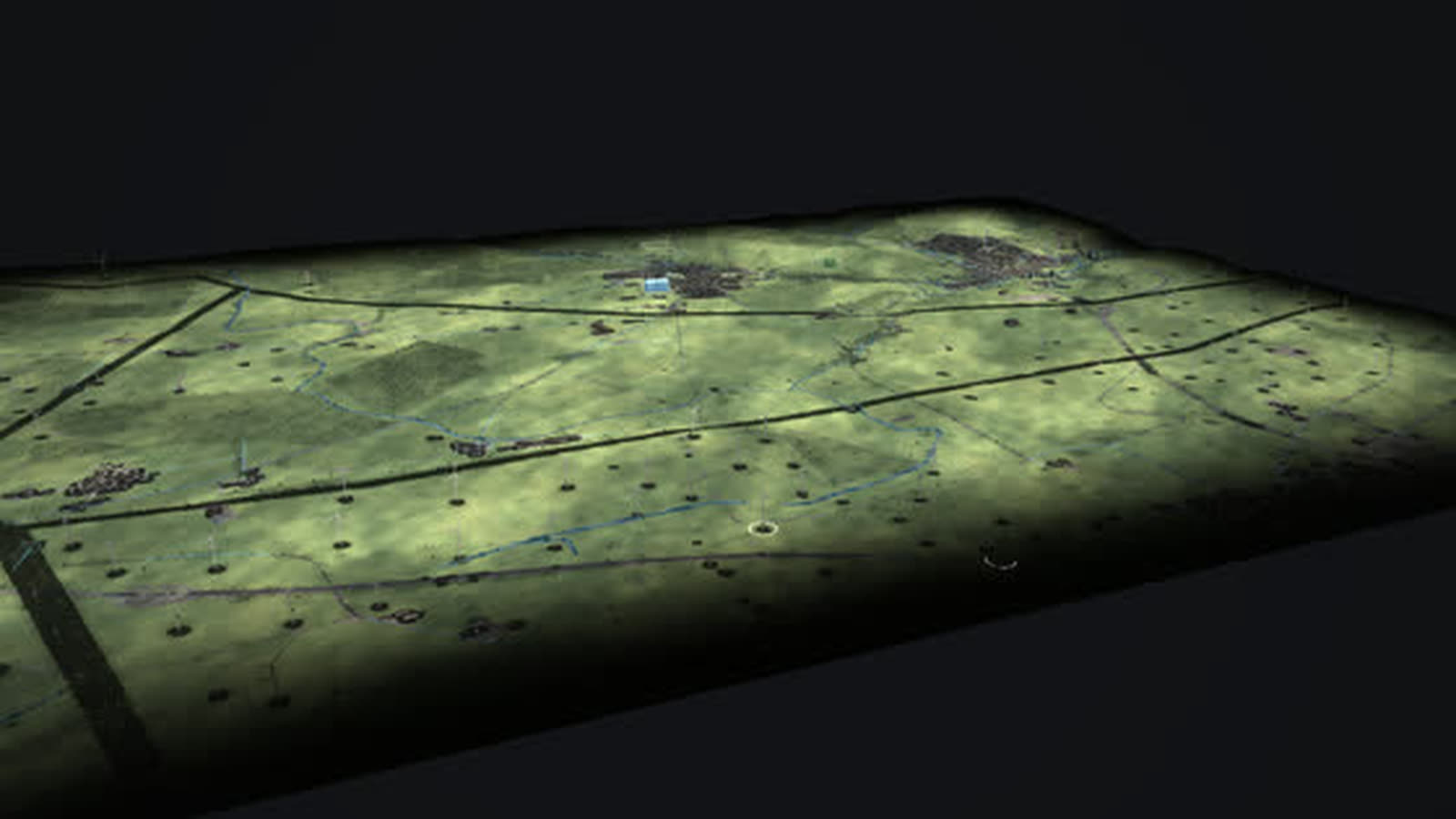
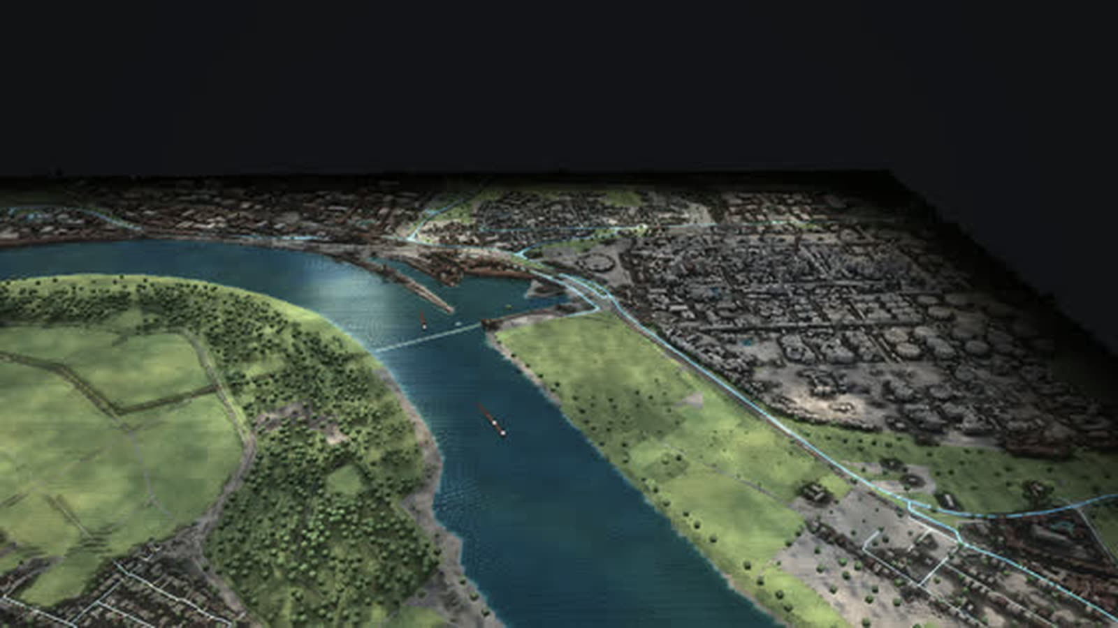
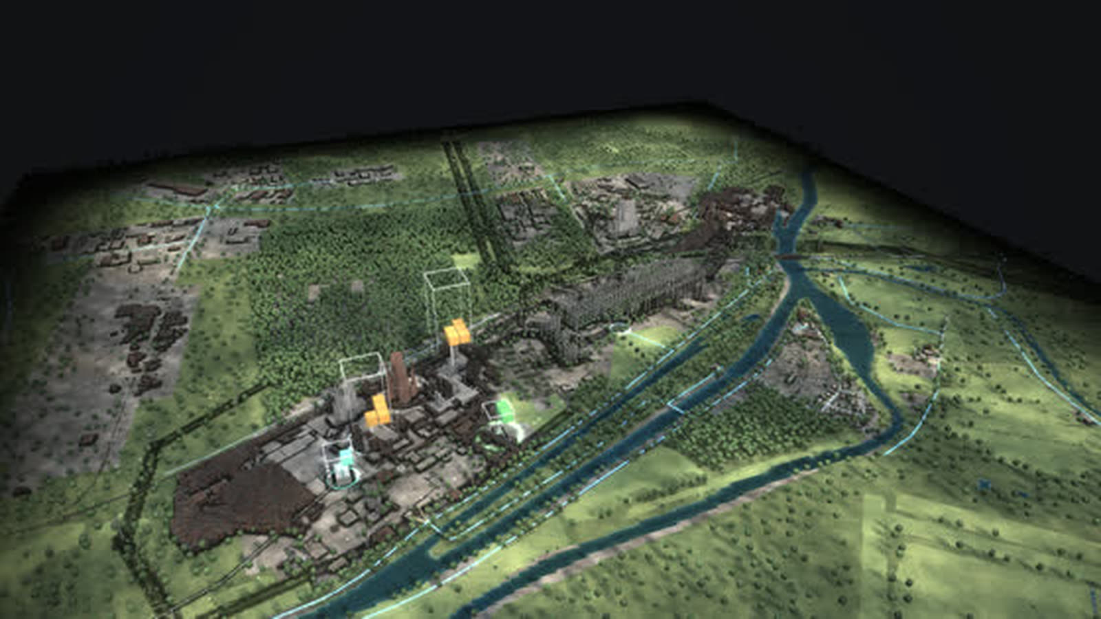
Real are the terrain (Geobasis NRW 2022), the power plants, solar and wind parks with capacity and years, and the villages. The position of the pit before 2018 is estimated from local chronicles (about ±1.5 km), the works railway is schematic; output now and CO₂ come from the model. With your data it shows more, such as tonnes mined per year, plant schedules or the reclaimed areas, which appear on no single map today.
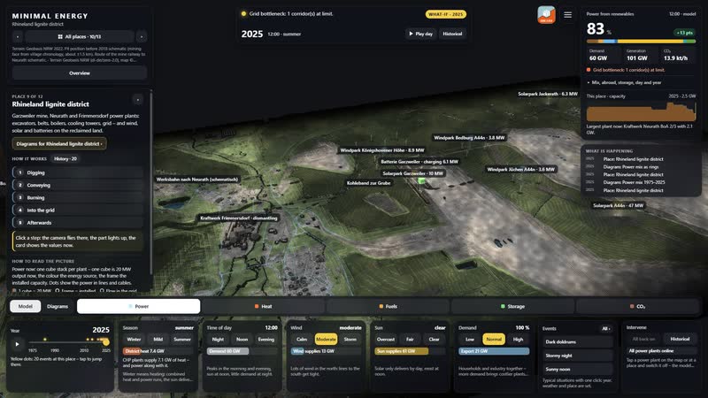
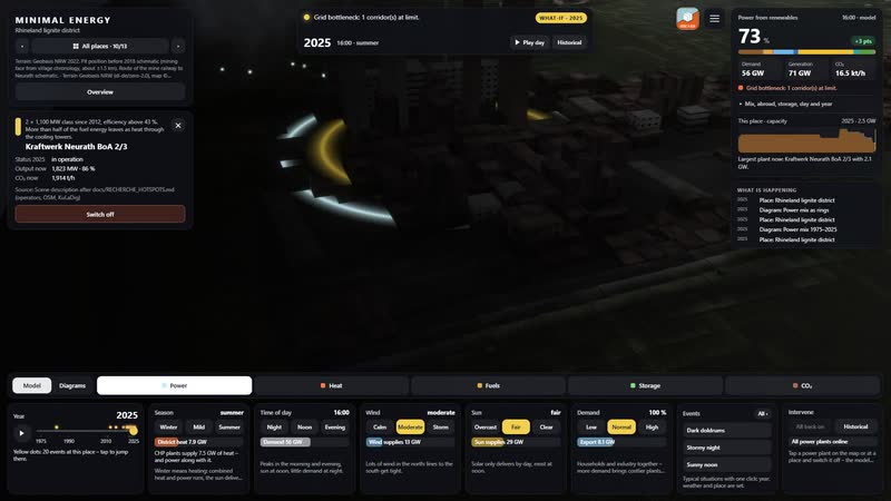
The Rhineland lignite district as a simulation: between Garzweiler, Neurath and Frimmersdorf lies the Rhineland lignite landscape with the open-cast mine, the conveyors and the large power plants. Frimmersdorf II was for a time the world’s largest thermal power plant; Neurath BoA 2/3 has run since 2012 with two units of the 1,100 MW class and an efficiency above 43 %. More than half of the fuel energy leaves as heat through the cooling towers.
The model follows the chain of the place: bucket-wheel excavators dig the coal out of the pit, conveyor belts and the works railway bring it straight to the power plants, steam from the boiler drives the turbine, and via the Neurath substation the power enters the extra-high-voltage grid at 380 kV. Afterwards, solar and wind farms with batteries are built on the reclaimed land – the pit becomes an energy site.
Over fifty years the pit and the villages move: Alt-Immerath and Lützerath disappear, Keyenberg remains, with the edge about 400 m away. Since February 2025 the Neurath battery has charged on wind and solar surplus and discharged in the evening peak. The page is for everyone who plans, decides or explains in the district: operators, municipalities and economic development, chambers, schools, universities, museums and those shaping structural change.
The chain of the place
- 01
Digging: Bucket-wheel excavators dig the lignite out of the pit; villages such as Lützerath were resettled for it.
- 02
Conveying: Conveyor belts and the works railway bring the coal straight to the power plants.
- 03
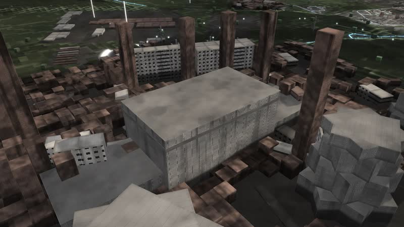
Burning: The coal burns in the boiler, steam drives the turbine; the cooling tower releases the waste heat as a cloud.
- 04
Into the grid: Via the substation the power enters the extra-high-voltage grid at 380 kV.
- 05
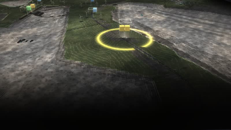
Afterwards: Solar and wind farms with batteries are built on the reclaimed land: the pit becomes an energy site.
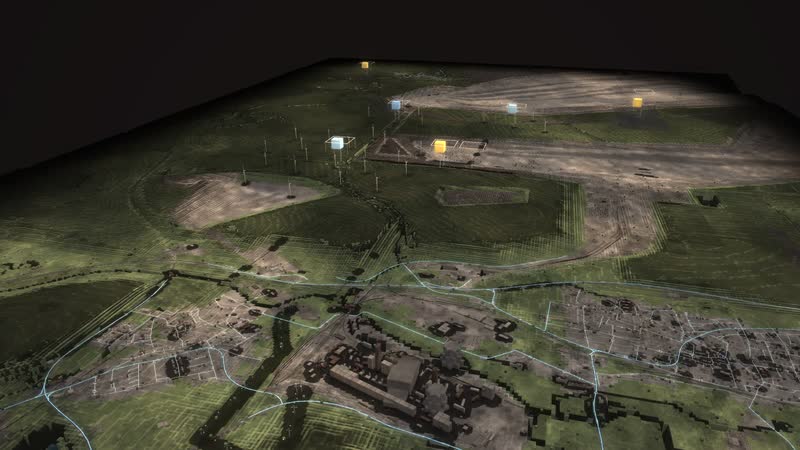
01
Rhineland lignite district as a model
Between Garzweiler, Neurath and Frimmersdorf lies the Rhineland lignite landscape: the open-cast mine, the conveyors and the large power plants with their cooling towers.
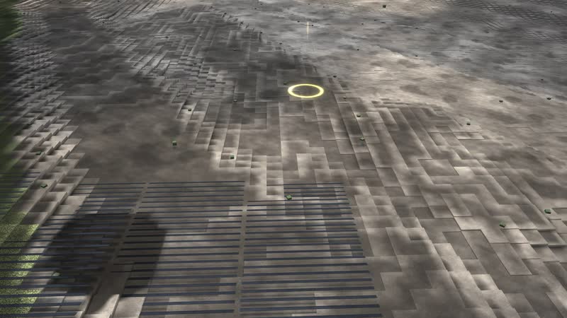
02
The chain of the place
Digging: Bucket-wheel excavators dig the lignite out of the pit; villages such as Lützerath were resettled for it.
What is shown – why – for whom
| What is shown | Why | For whom |
|---|---|---|
| The chain Digging – Conveying – Burning – Into the grid – Afterwards | Whyexplains the path from coal to power in five steps | For whomSchools, visitors |
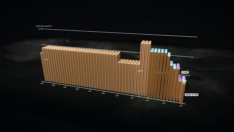
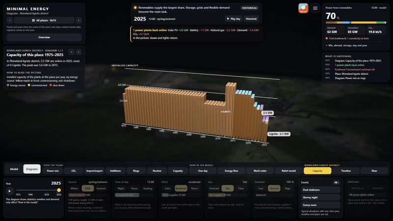
| Diagram ‘Capacity of this place 1975–2025’ | Whyshows the installed capacity of the district per year by source | For whomStructural change, economic development |
| Diagram ‘Every plant from construction to demolition’ | Whyshows operation, standstill and dismantling of every plant | For whomOperators, museums |
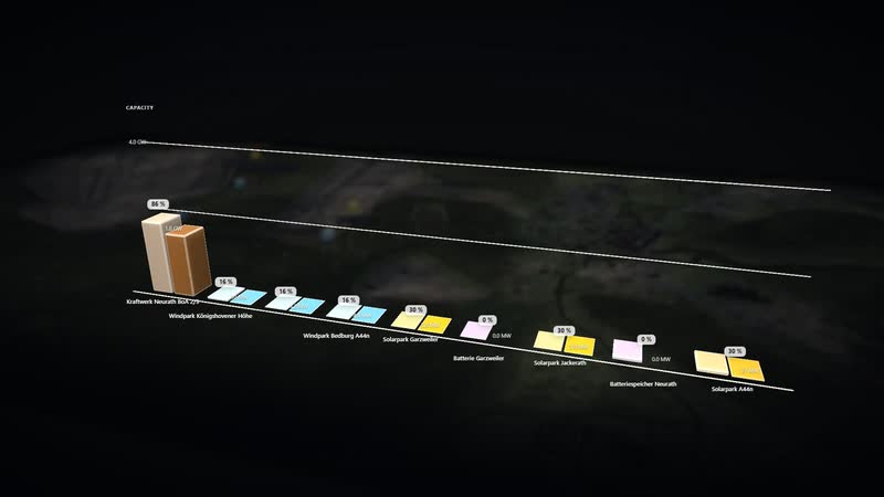
| Diagram ‘Every plant now’ | Whysets installed capacity against what each plant delivers in this hour | For whomPlanning, grid operations |
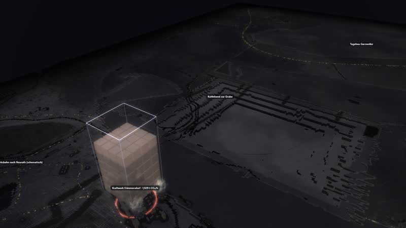
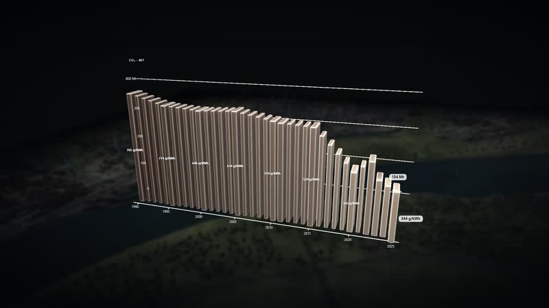
| CO₂ view with the place card | Whynames the emissions now and the plant with the most | For whomClimate protection, public relations |
| Lützerath, Alt-Immerath and Keyenberg in time travel | Whyshows what the mine displaced and what remains | For whomMunicipalities, exhibitions |
| Switch off: Kraftwerk Frimmersdorf | Whyshows who steps in and how CO₂ and imports change | For whomPlanning, teaching |
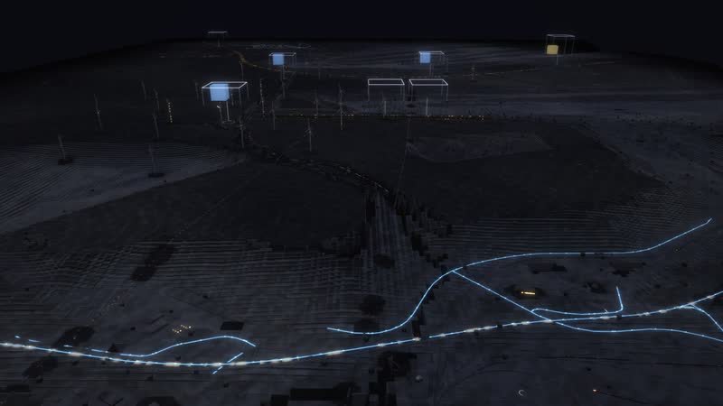
03
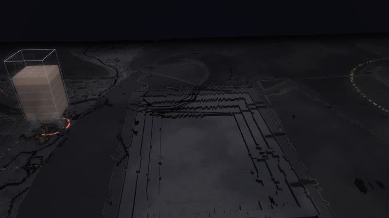
Power into every house
In the evening the power flows right into the houses: from the substation via the local stations to every house connection.
04
Five views, one world
Power, heat, fuels, storage and CO₂ – every view shows its values right at the plants.
Films from the model
-
A day in time-lapse
From morning to midnight: the sun moves, the stacks grow and shrink with wind, sun and demand, at night windows and plants light up.
-
Fifty years in thirty seconds
From 1975 to 2025 in Rhineland lignite district: plants appear, run, are shut down and dismantled.
-
Five views
Power, heat, fuels, storage and CO₂ – the same world read five different ways, with values right at the plants.
-
Power into every house
Through the place at dusk: from the substation via the local stations to every house connection, with cars and trains.
-
Six diagrams
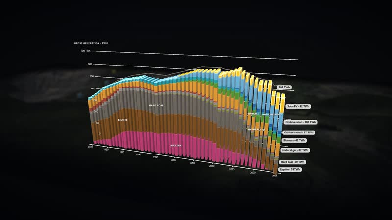
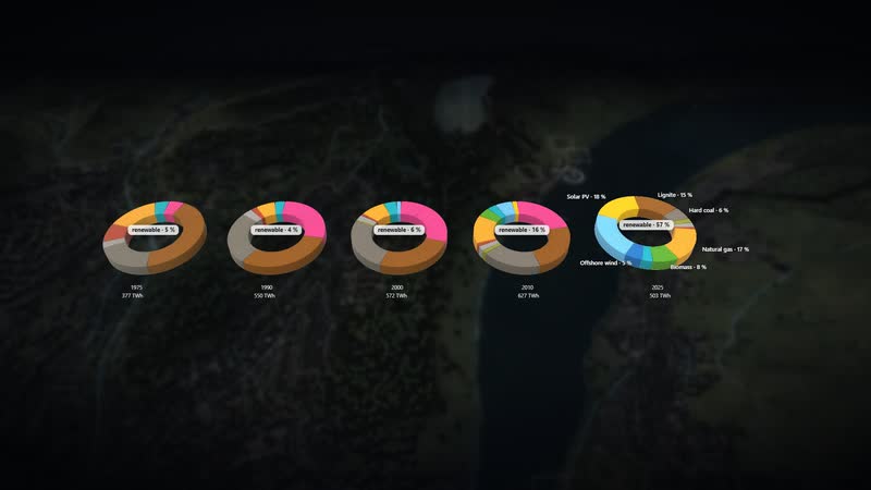
Calculated live from the model and lit like a film: ‘Capacity of this place 1975–2025’, ‘Every plant from construction to demolition’, ‘Every plant now’, ‘CO₂ since 1990’, ‘Power mix 1975–2025’, ‘Power mix as rings’.
-
Using the software
With the full interface: steps of the place, choosing a plant, tiles, CO₂ view, the place’s diagram, time travel.
Facilities and areas in the model
-
Tagebau Garzweiler
20–25 million t of lignite a year (declining). The pit moves west; behind it, spoil is dumped and the land reclaimed.
-
Kraftwerk Neurath BoA 2/3
2 × 1,100 MW class since 2012, efficiency above 43 %. More than half of the fuel energy leaves as heat through the cooling towers.
-
Kraftwerk Neurath A–E
3 × 300 and 2 × 600 MW, commissioned 1972–1975, shut down end of 2021 to April 2024. Cooling tower positions schematic.
-
Kraftwerk Frimmersdorf
Frimmersdorf II was for a time the world's largest thermal power plant. Units P/Q in standby reserve from 2017, finally shut 30 Sep 2021, dismantling since 2025.
-
Umspannanlage Neurath
380/220/110 kV: here the power enters the transmission grid towards Rommerskirchen and Rhine-Ruhr.
-
Batteriespeicher Neurath
80 MW / 84 MWh since February 2025: charges on wind and solar surplus, discharges in the evening peak.
-
Solarpark A44n
86.5 + 19.2 MWp on reclaimed land, grid connection 90.4 MW.
-
Solarpark Garzweiler
19.4 MWp beneath the Königshovener Höhe wind farm (2023).
-
Batterie Garzweiler
6.5 MW / 13 MWh, 2 hours of charging or discharging.
-
Solarpark Jackerath
12.1 MWp at the western edge of the mine (2023).
-
Windpark Königshovener Höhe
67.2 MW on reclaimed land (2015).
-
Windpark Bedburg A44n
28.5 MW (2022).
-
Windpark Jüchen A44n
27 MW (2021).
-
Lützerath
Resettled 2006–2022, cleared in January 2023 and excavated.
-
Alt-Immerath
Resettled 2006–2022, the church was demolished from January 2018.
-
Keyenberg
Resettlement from 2016, ended by the 2023 policy decision: the village stays, the edge is about 400 m away.
-
Skywalk Jackerath
Viewpoint looking into the pit.
05
Fifty years in one place
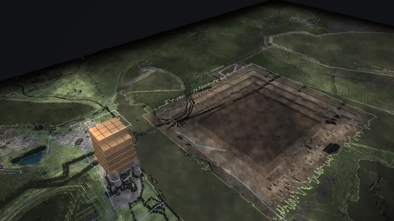
The chain runs from digging through conveying and burning to the substation where the power enters the transmission grid.
06
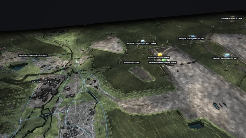
Every plant with its value
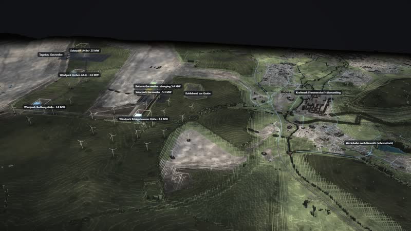
Every plant with its name and its output now in MW.
Processes in the model
The chain of the place
- 01Digging: Bucket-wheel excavators dig the lignite out of the pit; villages such as Lützerath were resettled for it.
- 02Conveying: Conveyor belts and the works railway bring the coal straight to the power plants.
- 03Burning: The coal burns in the boiler, steam drives the turbine; the cooling tower releases the waste heat as a cloud.
- 04Into the grid: Via the substation the power enters the extra-high-voltage grid at 380 kV.
- 05Afterwards: Solar and wind farms with batteries are built on the reclaimed land: the pit becomes an energy site.
One day
- 01“Play the day”
- 02the sun moves, wind and demand change every hour
- 03the stacks above the plants grow and shrink
- 04storage charges and discharges
Fifty years
- 01▶ at the year (time travel)
- 021975
- 031995
- 042015
- 052025
- 06plants appear, run, are shut down and dismantled; the history of the place jumps to every year
Intervene
- 01tap Kraftwerk Frimmersdorf
- 02“Switch off”
- 03the top shows who steps in
- 04back with “All on again”
How the district can use the model
-
Operations and planning
Mine, conveyors, power plants and substation in one picture. The values name every plant with its output now in MW and its state: what runs, what stands still, what has been removed.
For whomOperators, site and land-use planning, grid connection
-
Municipalities and structural change
What comes after coal? Time travel shows the reclaimed land with the Königshovener Höhe wind farm, the A44n solar park and batteries next to the mine – and how the pit becomes an energy site.
For whomMunicipalities, economic development, chambers and associations
-
Schools and universities
How does lignite become electricity? One click on a step of ‘How it works’ flies to the excavator, the conveyor, the boiler or the substation, and the part lights up.
For whomTeachers, pupils, students
-
Museums and exhibitions
The history of the place with years to tap: the resettlement of Lützerath and Alt-Immerath, the end of Neurath A–E by April 2024, the first solar parks on the reclaimed land.
For whomMuseums, exhibitions, guided tours
-
Public communication
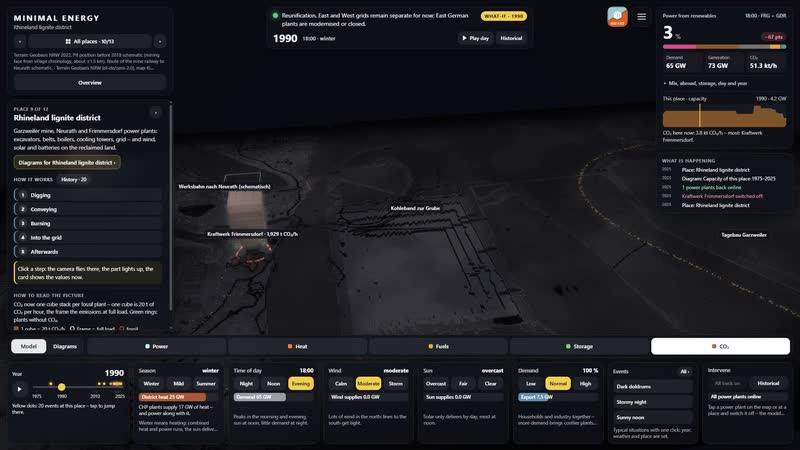
The CO₂ view for 1990 puts a stack of cubes above every fossil plant, one cube 20 t of CO₂ per hour. Next to them, plants without CO₂ carry green rings – the coal exit as a picture.
For whomPublic relations, policymakers, associations
07
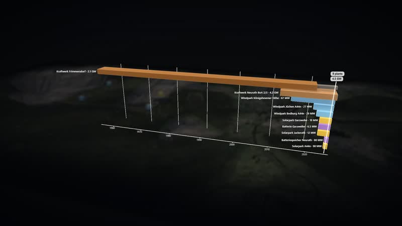
Diagrams of the place
Every plant of Rhineland lignite district from construction to demolition – one of three diagrams calculated only from this place’s data.
08
The whole software
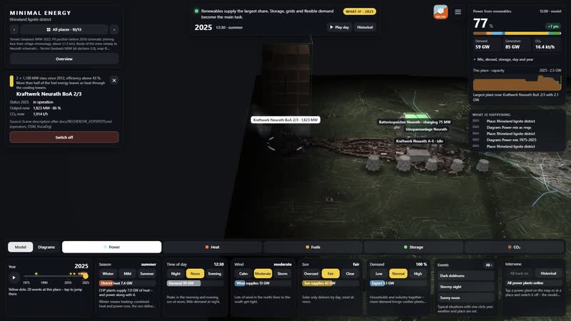
Place selection, situation, info card, steps, views, year and tiles: one click on a plant shows capacity, years and the value now.
What you can change
Controls
- Year 1975–2025: plants appear and disappear, mix and grid change; ▶ lets the years run.
- Season: snow, foliage, meadows, chimney smoke; more heat and power demand in winter, more sun in summer.
- Time of day: sun position, dusk, night with windows and street lights; demand follows the daily profile.
- Wind: rotors turn faster, sea state, smoke plumes lie flat; wind power rises, curtailment in a storm.
- Sun: clouds and soft shadows; photovoltaics deliver more or less.
- Demand (households, industry): more lit windows, plant lighting, chimney smoke; more expensive plants step in.
- Views: power, heat, fuels, storage, CO₂ – each with its own columns, stacks and values.
Events
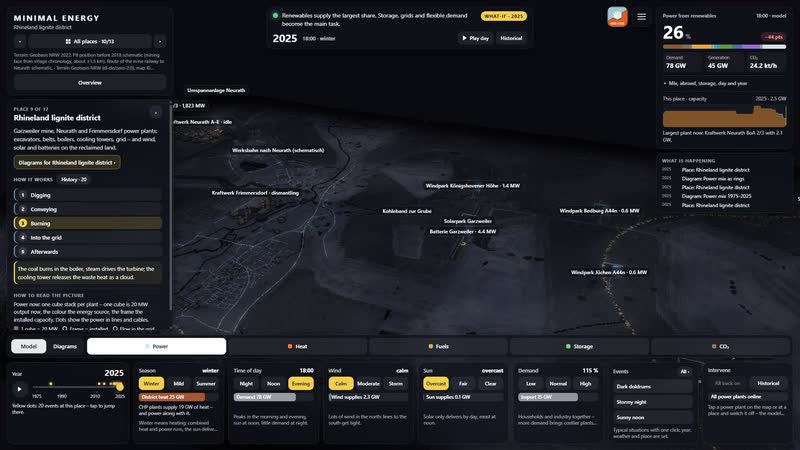
- Winter evening without wind or sun (tiles): Season winter, evening, calm, overcast: demand peaks, the stacks above wind and solar shrink, fossil plants, storage and imports carry the load.
- Stormy night (tiles): Night, gale, low demand: wind delivers more than is needed, storage charges, surplus is curtailed or exported.
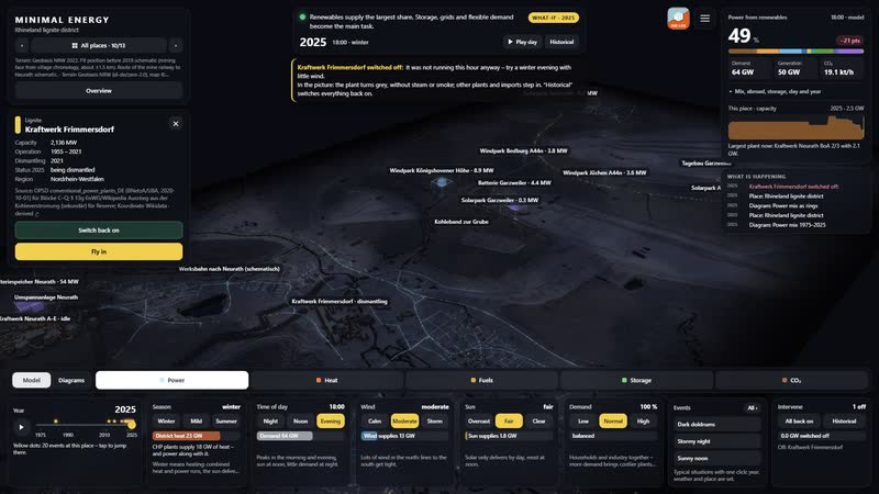
- Switch off: Kraftwerk Frimmersdorf: The model calculates without this plant; the top shows who steps in, CO₂ and imports change.
What the model gives the district
-
01
A district you can walk through
Instead of maps and slides: mine, power plants, villages and reclaimed land in 3D, from high above down to eye level with cars, lorries and trains on the routes from OpenStreetMap.
-
02
Fifty years in thirty seconds
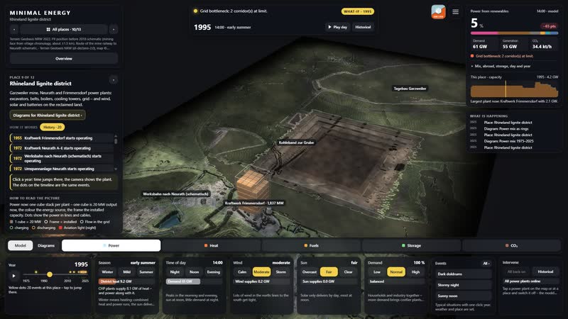
Time travel shows 1975, 1995, 2015 and 2025: plants appear, run, are shut down and dismantled. The history of the place jumps to every year.
-
03
Calculated every hour
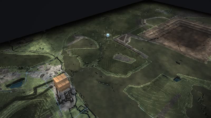
‘Play the day’ moves sun, wind and demand hour by hour. Above the plants a stack of cubes shows the power now, one cube 20 MW, the frame the installed capacity.
-
04
Making the afterwards visible
Wind farms, solar parks and batteries on the reclaimed land stand next to the mine. In the stormy night the storage charges, on the winter evening without wind or sun the fossil plants carry the load.
-
05
Switch off yourself
Tap Kraftwerk Frimmersdorf, ‘Switch off’: the model calculates without the plant and the top shows who steps in. ‘All on again’ takes you back.
-
06
In the browser and on the big screen
A browser is enough, and large projections work too. Eleven more places and the map of Germany are part of the same model, designed by an artist and developer.
-
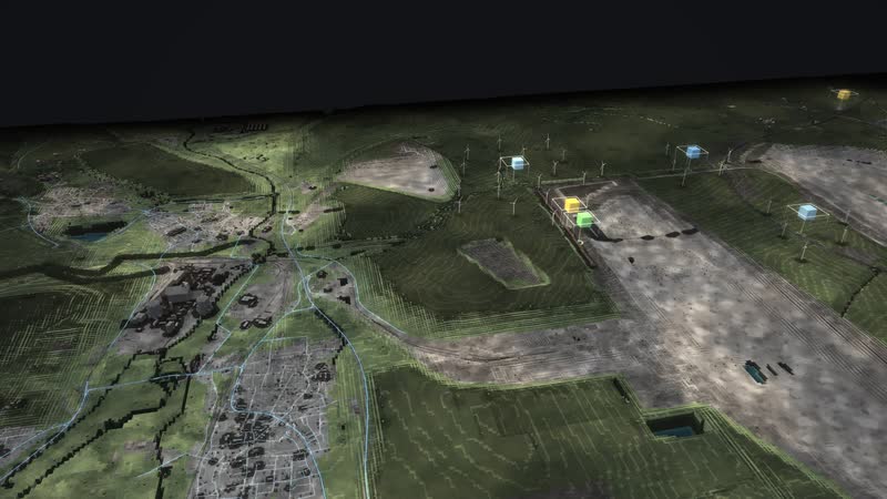
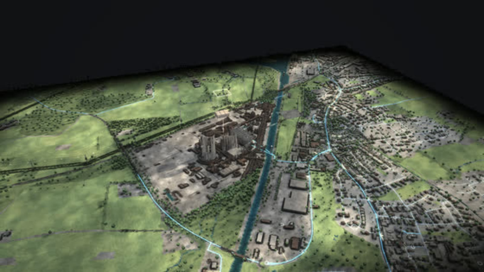
Rhineland lignite district in the morning – Garzweiler mine, Neurath and Frimmersdorf power plants: excavators, belts, boilers, cooling towers, grid – and wind, solar and batteries on the reclaimed land. -
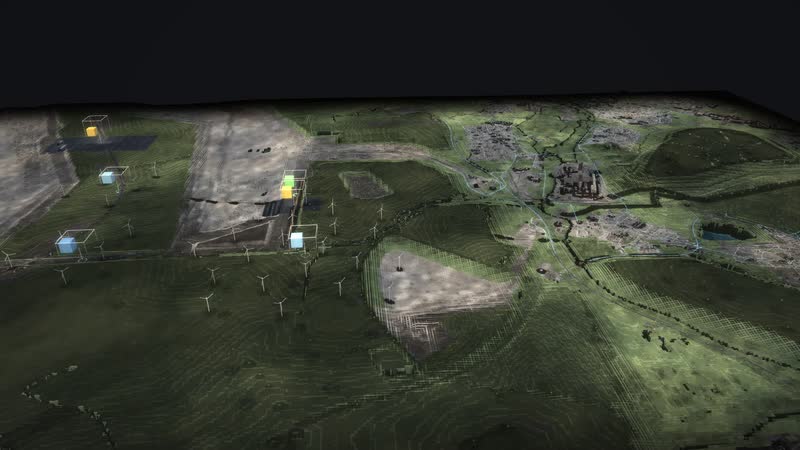
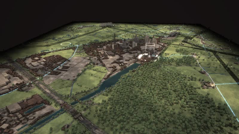
Rhineland lignite district from the opposite side in afternoon light. -
Rhineland lignite district in the evening – low sun, the first lights, the cube stacks show the power now. -
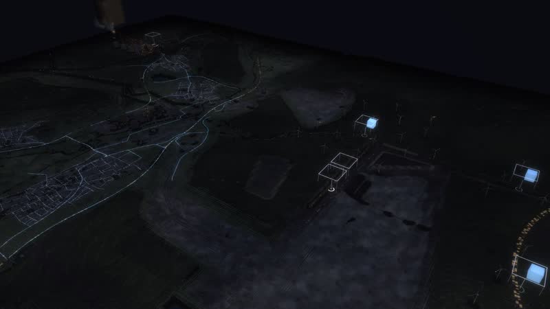
Night – windows, street lights and plant lighting, the stacks glow above the plants. -
Winter morning – snow on the roofs, chimney smoke above the houses, demand rises. -
Rhineland lignite district from high above – the whole place with terrain, routes and plants. -
At eye level – cars, lorries and trains on the routes from OpenStreetMap. -
Early morning between winter and summer, the sun still low. -
Digging: Bucket-wheel excavators dig the lignite out of the pit; villages such as Lützerath were resettled for it. -
Conveying: Conveyor belts and the works railway bring the coal straight to the power plants. -
Burning: The coal burns in the boiler, steam drives the turbine; the cooling tower releases the waste heat as a cloud. -
Into the grid: Via the substation the power enters the extra-high-voltage grid at 380 kV. -
Afterwards: Solar and wind farms with batteries are built on the reclaimed land: the pit becomes an energy site. -
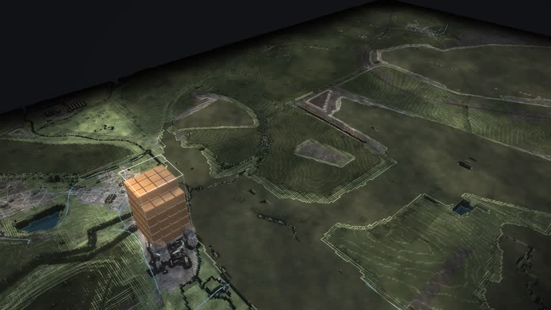
Power now: above Kraftwerk Neurath BoA 2/3 stands a stack of cubes – one cube is 20 MW, the frame the installed capacity. -
In the evening the power flows right into the houses: from the substation via the local stations to every house connection. -
Dark doldrums – no wind, no sun: the stacks show what still delivers now. -
Stormy night – wind delivers more than is needed, storage charges. -
Heat view on a winter evening – houses as a thermal image, columns at plants that supply heat. -
Fuels view – the world turns grey, whatever is delivered and burned glows in its colour. -
Storage view at sunny midday – bars show the fill level, green charges, orange discharges. -
CO₂ view 1990 – one stack per fossil plant, one cube 20 t of CO₂ per hour, green rings without CO₂. -
1975: in operation are Kraftwerk Neurath A–E, Kraftwerk Frimmersdorf. -
1995: new are Tagebau Garzweiler. -
2015: new are Kraftwerk Neurath BoA 2/3, Windpark Königshovener Höhe. -
2025: new are Batteriespeicher Neurath, Solarpark A44n, Solarpark Garzweiler and more; no longer running Kraftwerk Neurath A–E, Kraftwerk Frimmersdorf. -
Every plant with its name and its output now in MW. -
1990, CO₂ view: the names carry the emissions now in tonnes per hour. -
What runs, what stands still, what has been removed – every plant names its state. -
Diagram ‘Capacity of this place 1975–2025’ – the installed capacity of this place per year by source, from the data of Rhineland lignite district. -
Diagram ‘Every plant from construction to demolition’ – every plant of this place with operation, standstill and dismantling, from the data of Rhineland lignite district. -
Diagram ‘Every plant now’ – installed against what each plant delivers in this hour, from the data of Rhineland lignite district. -
Diagram ‘CO₂ since 1990’ – the CO₂ emissions of power generation per year and per kilowatt hour. -
Diagram ‘Power mix 1975–2025’ – how generation by source shifts over fifty years. -
Diagram ‘Power mix as rings’ – the power mix of a year as rings. -
The whole software – place selection, situation, power from renewables, info card, views, year and tiles. -
Kraftwerk Neurath BoA 2/3 selected – the card names capacity, years, state and the value now. -
How it works – one click on a step flies there and the part lights up. -
The history of the place – years to tap, the dots on the timeline jump there. -
Winter evening set with the tiles – season, time of day, wind, sun and demand act on the picture at once. -
Intervene yourself – a power plant switched off, the top shows who steps in. -
Diagram ‘Capacity of this place 1975–2025’ with panel and legend. -
CO₂ view – on the right the place card names the emissions now and the plant with the most. -
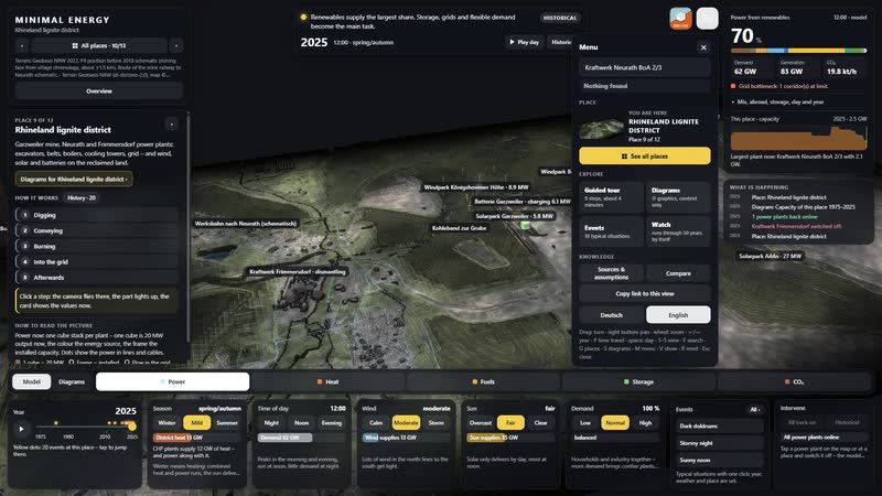
Search in the menu – places, power plants with capacity and years, diagrams and events. -
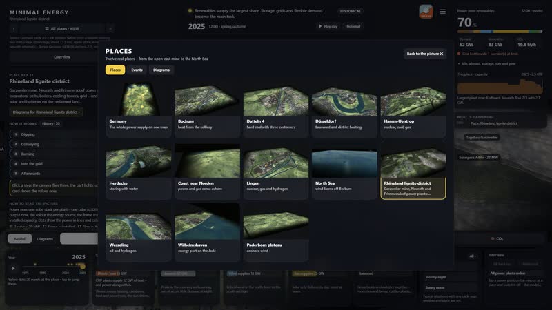
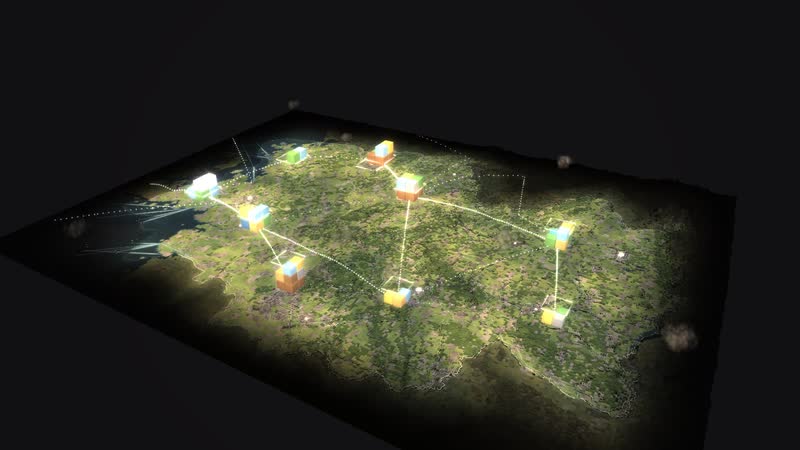
Twelve places and the map of Germany to choose from, each with its own picture.
Your district as a model
Would you like to show your mine, your power plant or your land after coal this way, with your own figures? Write to us or give us a call, and we will discuss which data the model needs. We will send you the password to the simulation on request.
cube4tec.de/spiele/minimal-energy/
Ask about this
Minimal Energy: Rheinisches Revier
Basis and limits
Real are the terrain (Geobasis NRW 2022), the power plants, solar and wind parks with capacity and years, and the villages. The position of the pit before 2018 is estimated from local chronicles (about ±1.5 km), the works railway is schematic; output now and CO₂ come from the model.
Public sources the model is based on:
- Geobasis NRW (dl-de/zero-2.0)
- OPSD conventional_power_plants_DE (BNetzA/UBA, 2020-10-01) für Blöcke C–Q; § 13g EnWG/Wikipedia Ausstieg aus der Kohleverstromung (sekundär) für Reserve; Koordinate Wikidata
- KVBG Anlage 2 (gesetze-im-internet.de); Presse 26.03.2024; OPSD für Inbetriebnahme; Koordinate Wikidata
- Wikipedia: Tagebau Garzweiler (sekundär); Koordinate Wikipedia
More places in the model
-
Datteln 4
Germany’s newest hard-coal plant as a walkable model: coal by ship on the Dortmund-Ems Canal, power for the grid and the railway, district heat as far as Recklinghausen.
-
Hamm-Uentrop
Five decades of energy on the Lippe and the canal as a walkable model: the THTR-300 thorium reactor, the Westfalen hard-coal plant, a gas plant, a large battery – and soon direct current from Wilhelmshaven.
-
Bochum · MARK 51°7
A former car plant above the Dannenbaum colliery as a walkable model: the new MARK 51°7 district is to draw heating and cooling from the water of the old mine, from 820 and 340 m down.
-
Paderborn plateau
One of the densest wind landscapes in North Rhine-Westphalia as a walkable model: every turbine with its year, from the 500 kW turbine of 1995 to the 6.2 MW turbine with a 169 m hub.
-
Wesseling
Germany’s largest refinery site as a walkable model: crude oil from Rotterdam and Wilhelmshaven, distillation column, tank farm and Rhine ships – and since 2021 hydrogen made from power.
-
Germany 1975–2025
Fifty years of energy supply on one map: 365 sites, ten grid regions and the power of every hour – from two separate grids in 1975 to wind and sun in 2025.
-
Lingen
The whole nuclear era in one place as a walkable model: the Lingen nuclear plant of 1968, the Emsland nuclear plant until April 2023, interim storage and dismantling – next to them gas, a battery and hydrogen.
-
Düsseldorf Lausward
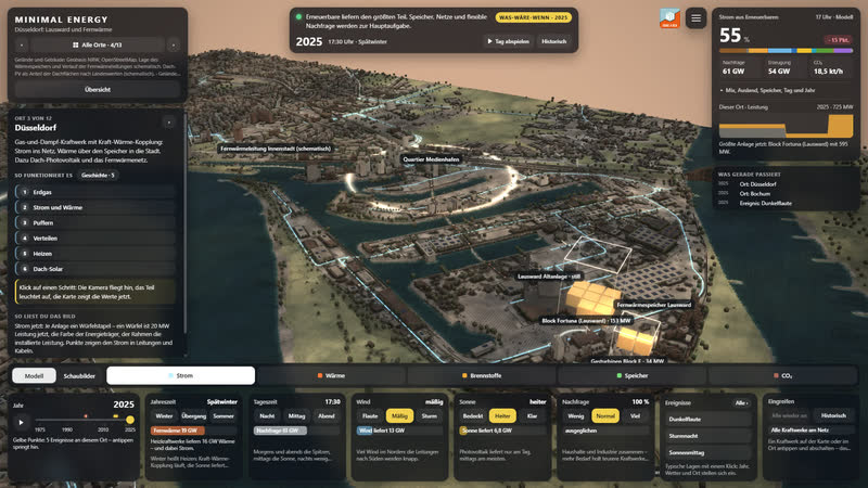
A combined-cycle gas plant on the Rhine as a walkable model: power to the grid, heat via a 58 m storage tank and the district heating line into the media harbour and the city centre.
Real are the terrain (Geobasis NRW 2022), the power plants, solar and wind parks with capacity and years, and the villages. The position of the pit before 2018 is estimated from local chronicles (about ±1.5 km), the works railway is schematic; output now and CO₂ come from the model. With your data…